Paddling past new green leaves under a clear blue sky was the perfect way to welcome spring. 80 participants camped at Traders Hill Campground for a two-day, 21 mile paddle down the wild St. Marys River, the border of Georgia and Florida. Read on to learn more about our river adventure and the spirit of Paddle Georgia paddling and camping trips. – Grace Wilson

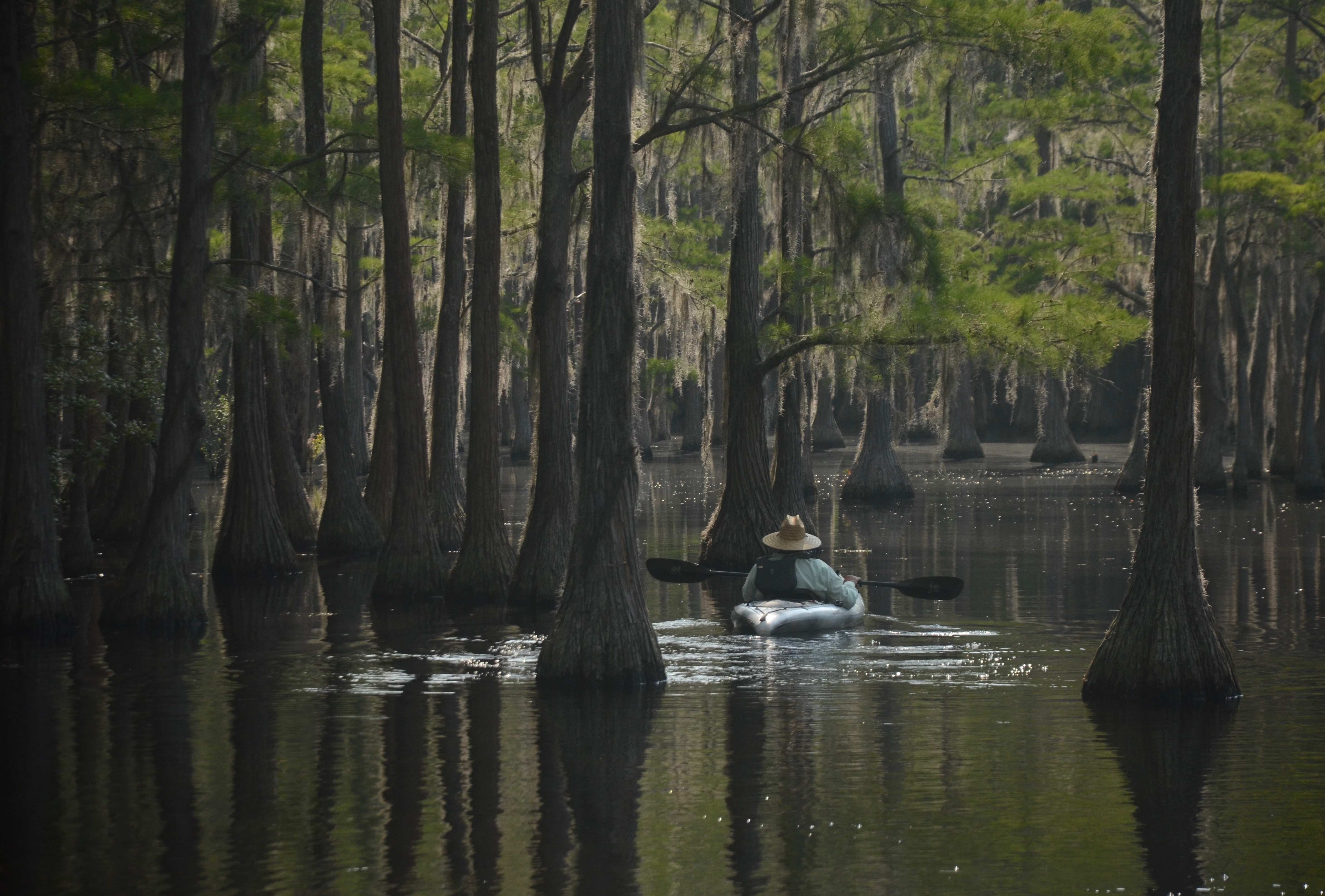
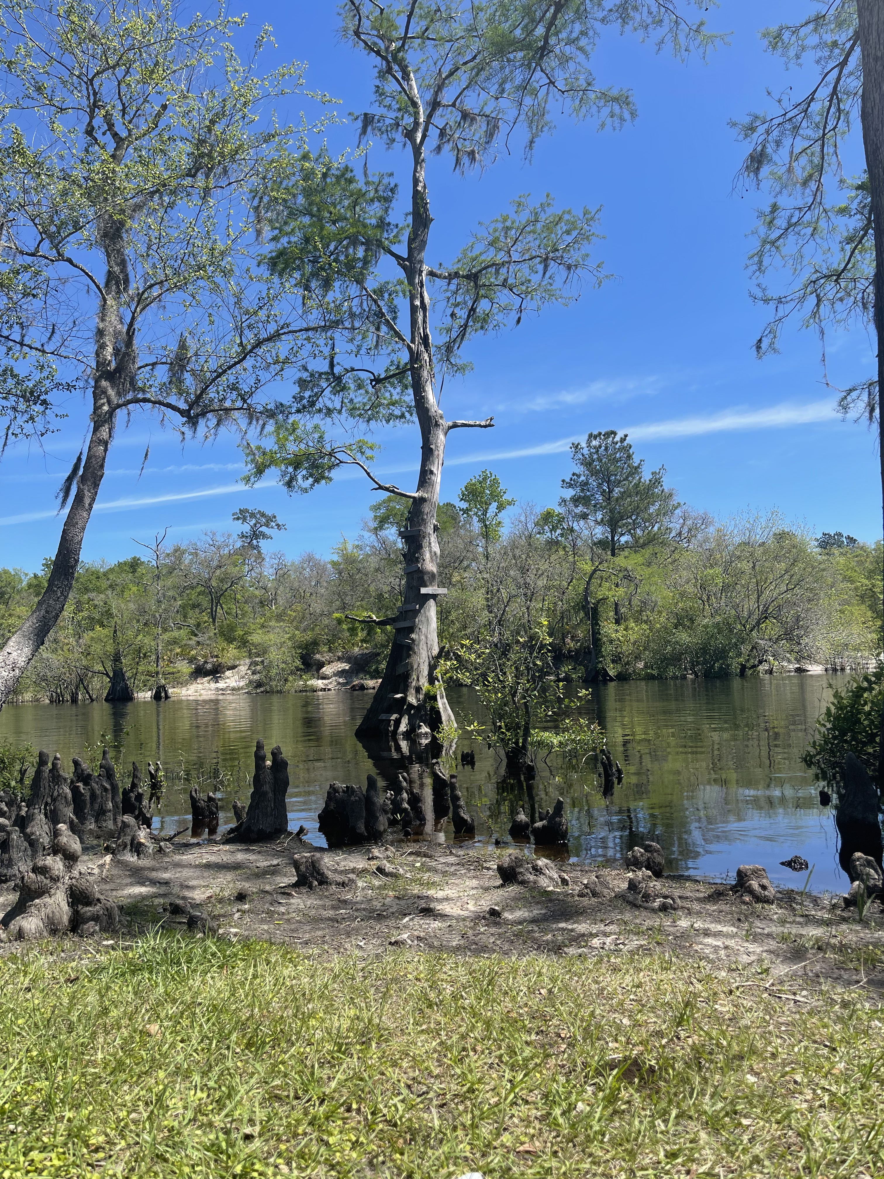
St. Marys Riverkeeper Emily Floore couldn’t help but add dramatic hand motions as she described the flow of the St. Marys River. The St. Marys flows south, then sideways, turns around, flows north, leans to the coast and finally reaches the city of St. Marys after a 126 miles journey from its origin in the Okefenokee Swamp to the mouth near Cumberland Island. It may be one of the smaller rivers in Georgia, but it’s a wild, blackwater river worthy of a Paddle Georgia paddle.
Spring on the St. Marys needed to kick off with an overview of just how special the river is. Paddlers had just driven across the state, bumped down a rural dirt road to drop off their boats and wrestled poles and tarps to set up camp. It was a long day, with a long paddle in store for the next day, but Emily reminded paddlers to get on river time. Just like the St. Marys, paddlers should embrace the unexpected, slow down to notice nature and go with the flow.
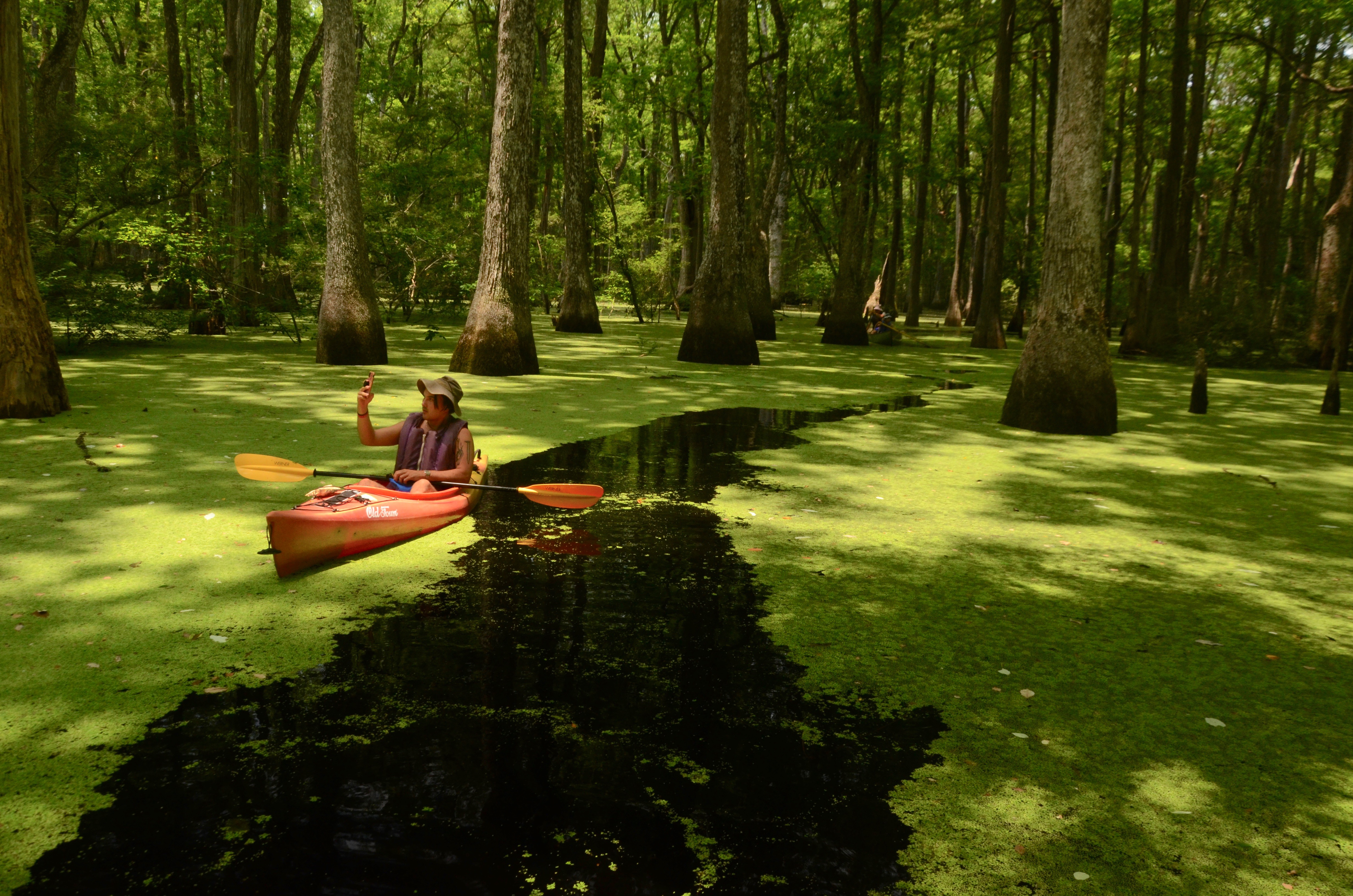
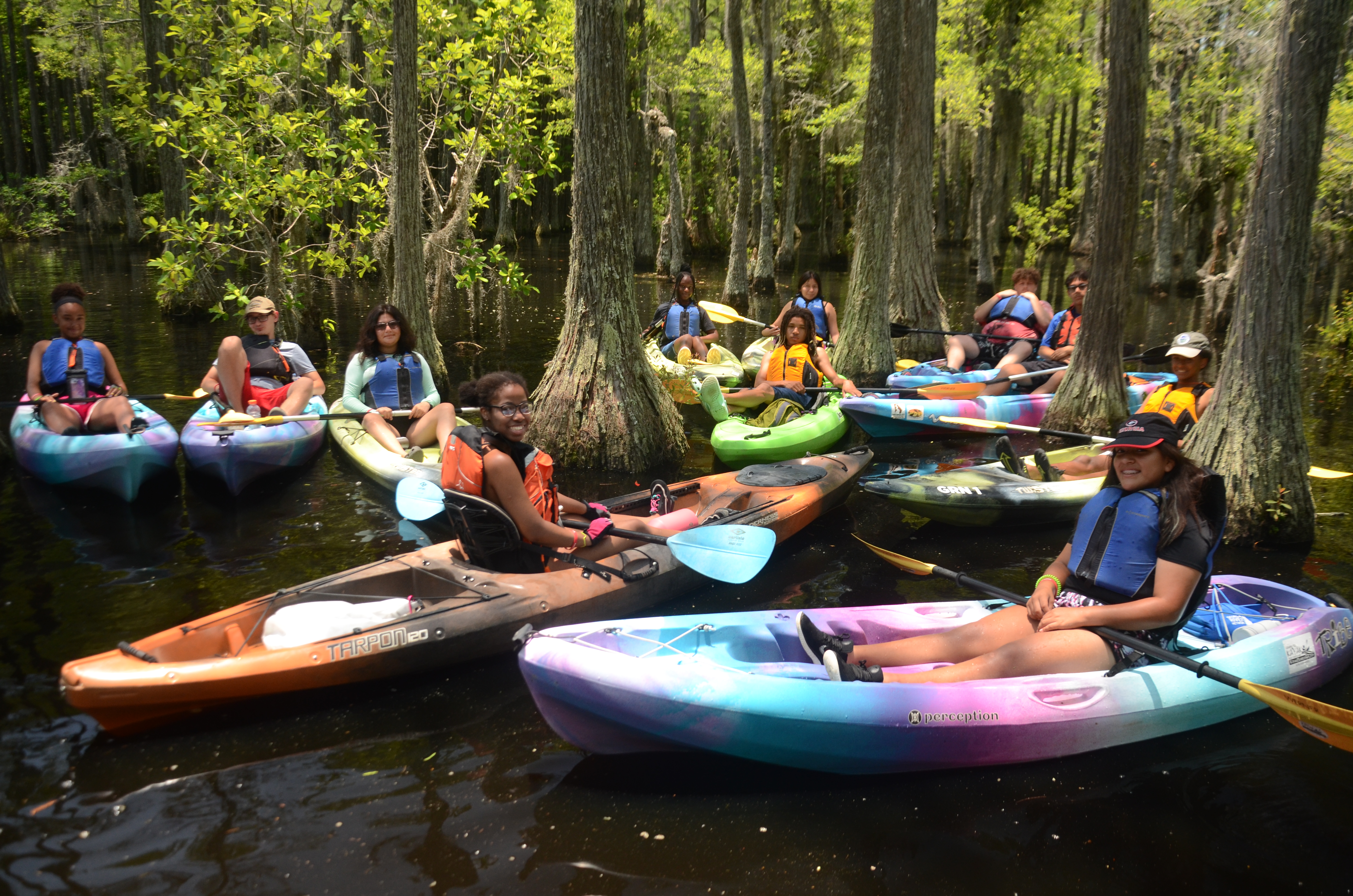
The first day’s paddle route was wild, remote and rarely traveled by paddlers because of lack of public access. So how did we get access for our flotilla of 80 paddlers? Joe Cook makes friends wherever he goes! Joe scoured maps to identify his ideal launch site, and simply introduced himself to a generous Folkston resident with a private river launch. Soon he had arrangements for our group to set sail on the St. Marys River 13 miles upriver from Traders Hill. Paddlers learned that accessing remote sections of the river is a wild adventure in itself. In order to get to the first boat launch, paddlers left Folkston behind, turned onto rural dirt roads and trusted winding paths into the deep south. Paddle Georgia signs directed paddlers to continue on past cut timberlands, a new longleaf pine stand, and a few shacks to be rewarded with an exclusive access point.

Paddlers prepare for the first day’s river run from a private river landing
All paddlers launched on the St. Marys River by 9:30 a.m. Saturday morning. Most paddlers agree the first few strokes from any launch are freeing, and maybe a bit tippy as you adjust your boat and gear. But after a few hundred yards, you sink into a rhythm and your mind starts to flow with the current of the river. Paddling can restore your mind, but that doesn’t mean your mind will always stay serene like the surface of the water. Rippling, sparkling water can invite your mind to play with new lightness. After a mile or two you might surprise yourself with creativity and have the perfect material for that night’s joke swap. “What do you call a brawl between a resurrection fern and a Bartram’s air plant? An epiphyte!” Paddling on, you look a little closer at tree limbs over the banks to spot a spiky air plant to inspire another punny joke.
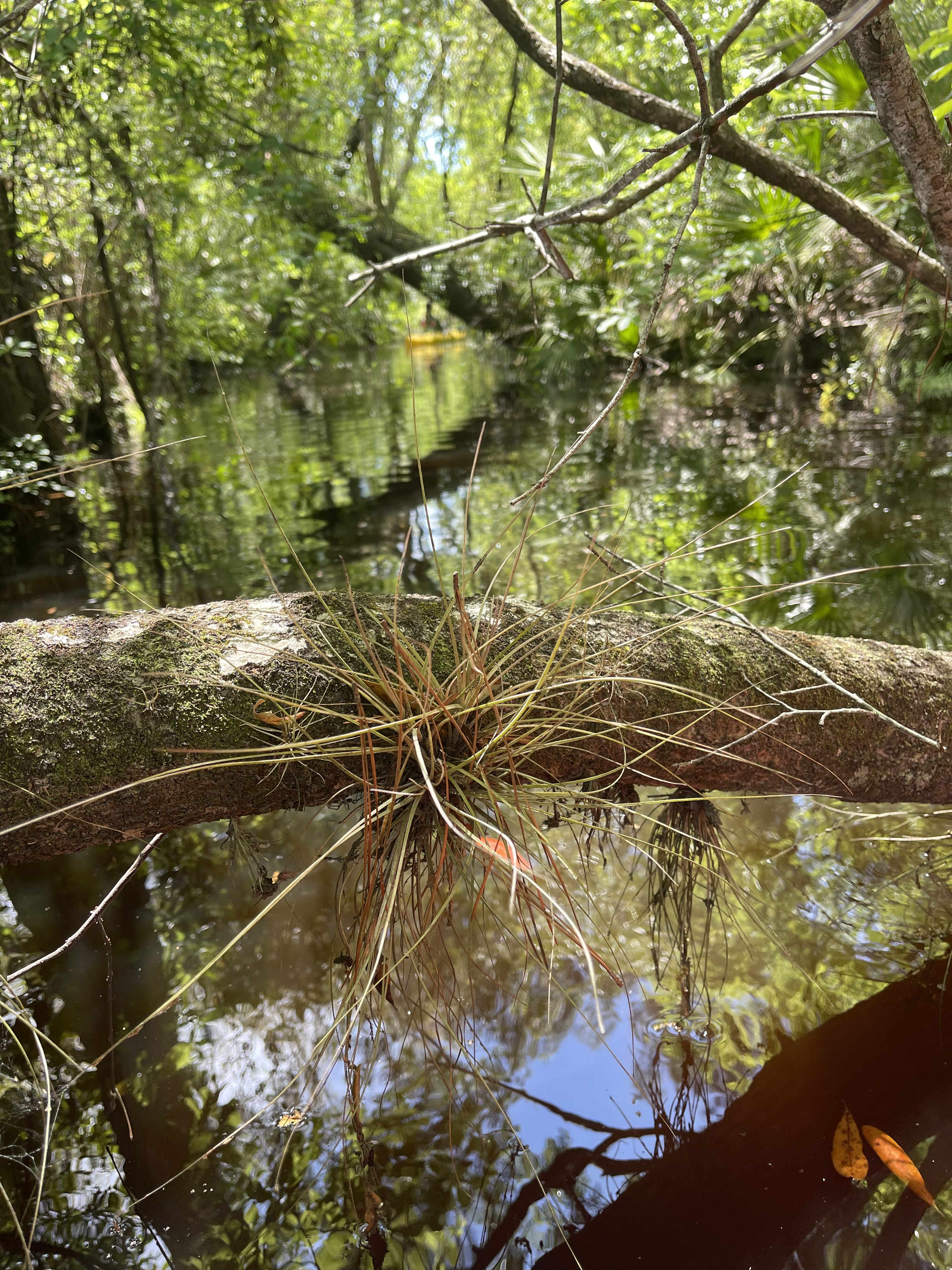
Bartram’s air plant
Just when paddlers needed to stretch their legs and rest their arms, there was Todd Blaudow, a St. Marys Riverkeeper board member who waved in paddlers to pit stop on his sloping yard. With 800 acres to share, Todd offered a place to break and a cool beverage. His mother stopped by to wave at the flotilla, a southern Iris Apfel as bright as her bold yellow glasses. It was just the pick-me-up paddlers needed before continuing the last two miles of paddling to the landing at Traders Hill.
…
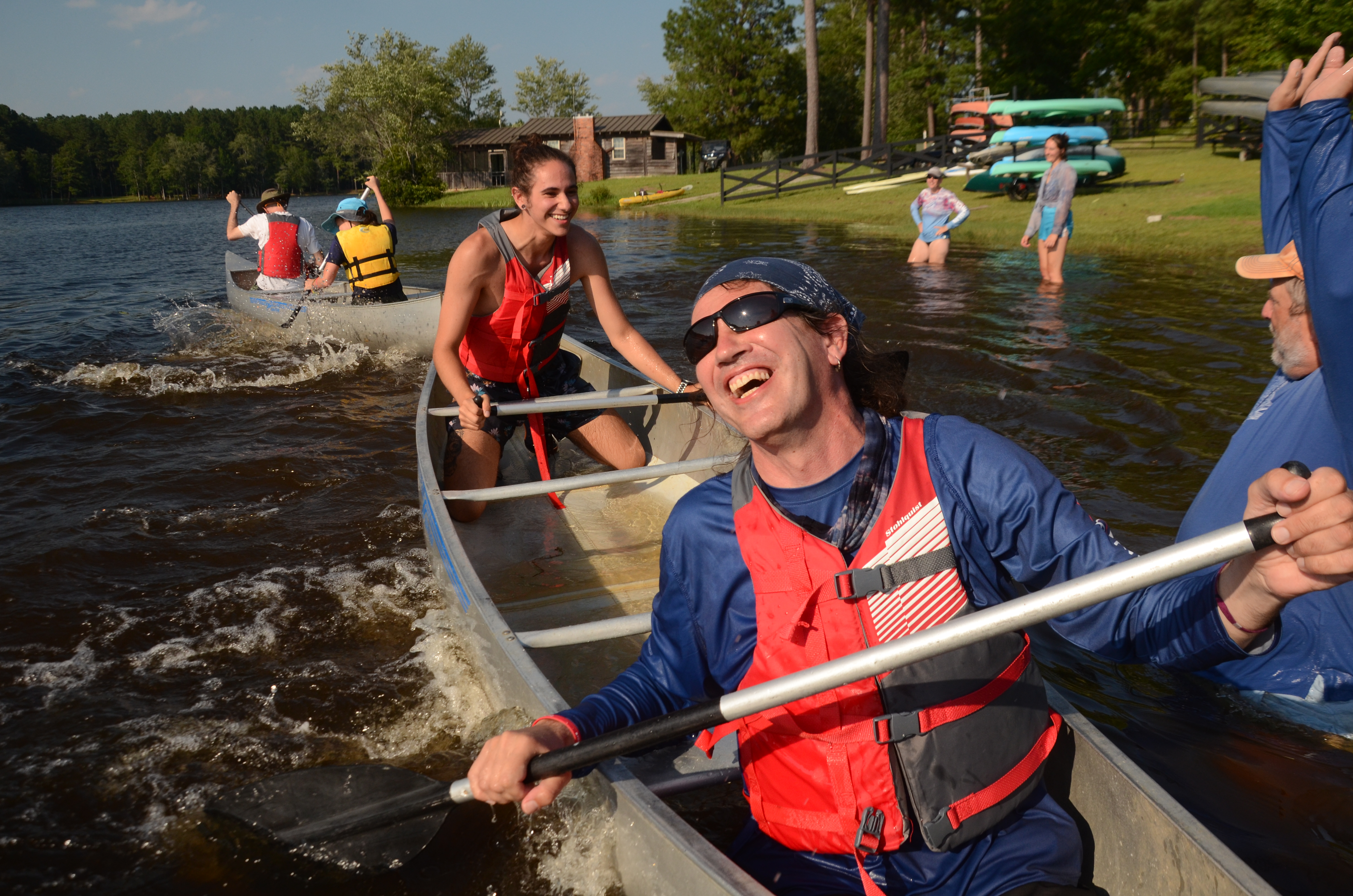
Paddle Georgia trips offer a full day on the river with plenty of time to relax at camp. Since each leg of the journey aims for first launch around 8 a.m. and the average paddle trip lasts around 4 to 5 hours, paddlers usually have a few hours in the afternoon to relax around camp before the dinner and evening program. Some paddlers bring hammocks and books, frisbees and soccer balls or prep for that night’s campfire.

Traders Hill Campground offered a grove of ancient live oaks for tent camping.
Each Paddle Georgia trip is carefully coordinated with catered meals and shuttle service so that paddlers can focus on the river adventure. Our caterers for the St. Marys River trip were mother-daughter team Shelia and Charlene Carter, a family with a long legacy in Folkston and strong connection to the Okefenokee. Charlene’s grandmother was born on Billy’s Island inside the swamp, and Charlene continues the family ties to the swamp by running Okefenokee Pastimes, a cabin and campground that runs on swamp time. After seconds, and thirds of fried chicken, twice-baked potatoes, broccoli slaw, and vegetarian pasta, paddlers settled in for the evening program. Georgia River Network has designed Paddle Georgia trips to be an environmental education adventure during which participants can learn from nightly educational programs and entertainment. Some programs include guest speakers igniting the paddle community to protect the rivers they love. Some programs keep up the momentum from the joke swap with folklore from the river. River connections continue with more paddling tales over the campfire. Our group of 80 paddlers created two campfires, one with dancing flames and kids with sticky smores fingers, another with steady heat for spinning long tales on the river. Our only duty at night was to let the fire wind down, the only thing we needed to do in the morning was stoke the fire back up.
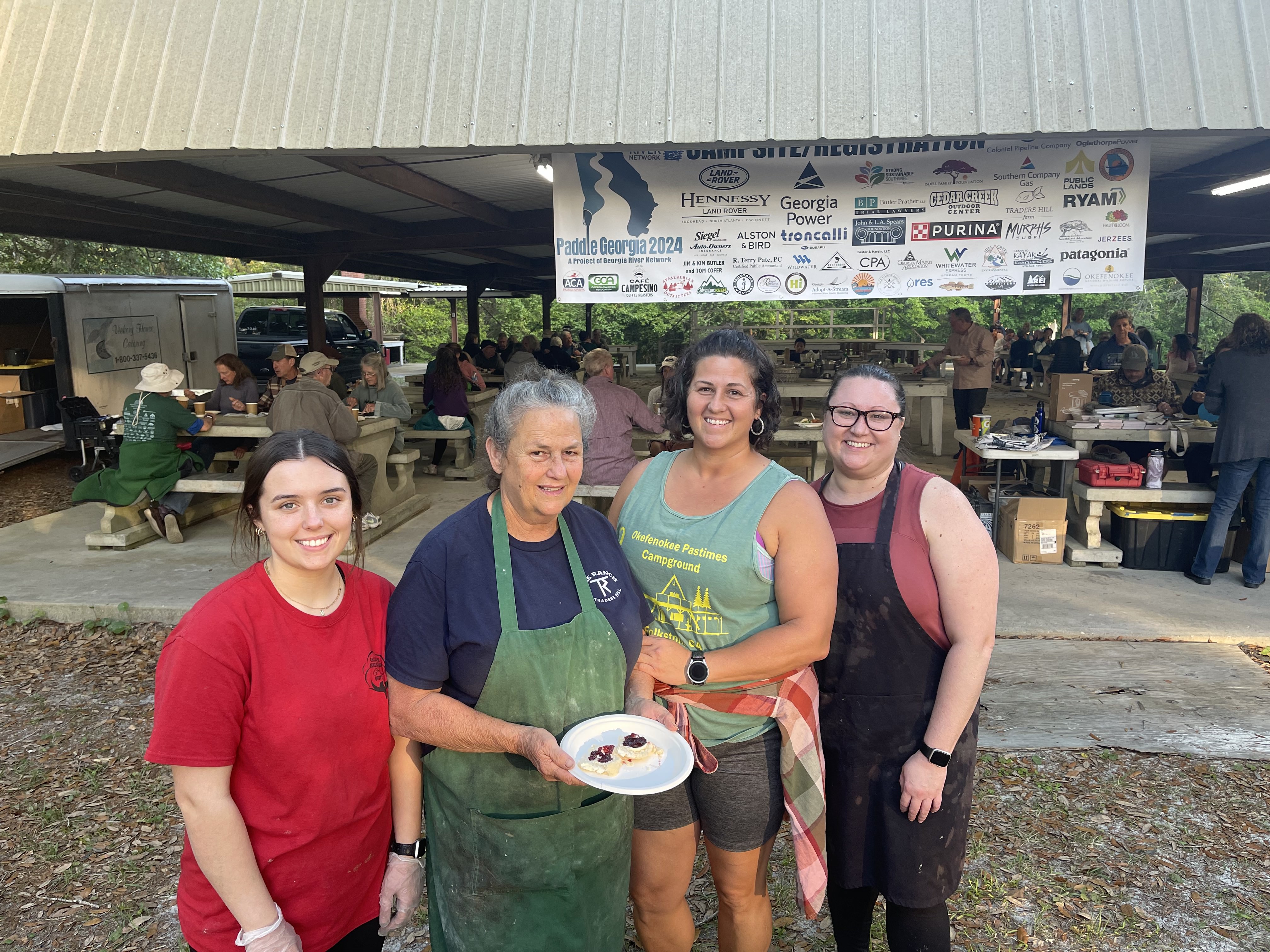
Shelia Carter, Charlene Carter and the catering team kept our paddlers fueled
…
The second day of Spring on the St. Marys offered a nine-mile run from the Traders Hill launch to Camp Pinckney Landing. While it’s virtually impossible to get lost if you follow the flow of the main river, each leg of the journey has its own map printed on legal paper and tucked into waterproof plastic bags. These custom maps show mile markers, points of interest, and pit stops along the route. The back includes summaries of historic points of interest, cultural commentary on the region, and education about the flora and fauna along the river. This river run passed Callie’s on the River, a riverfront home converted into an Airbnb, cafe and campground, under the Waycross Short Line railroad bridge and US Hwy 301, and alongside the dense foliage of Ralph E. Simmons Memorial State Forest.

Waycross Short Railroad bridge over the St. Marys River
Paddlers regrouped and recapped the weekend trip as they awaited the bus to shuttle them back to camp. It’s not always pleasant to switch from the river to reality and start the unavoidable tasks of packing up the campsite, driving back to the final take out to fetch boats and heading home.
But the river stays with us long after we dock our boats. Over 80 paddlers experienced more than 20 miles on the St. Marys River during Spring on the St. Marys. They explored flooded streams and oxbow lakes, met new river friends and made plans to paddle again. If we work to preserve the St. Marys River, she freely flow with fresh water and new adventures for our next paddle trip.
Rope swing on St. Marys River at Traders Hill Landing
Grace Wilson